
 Image 1 of 3
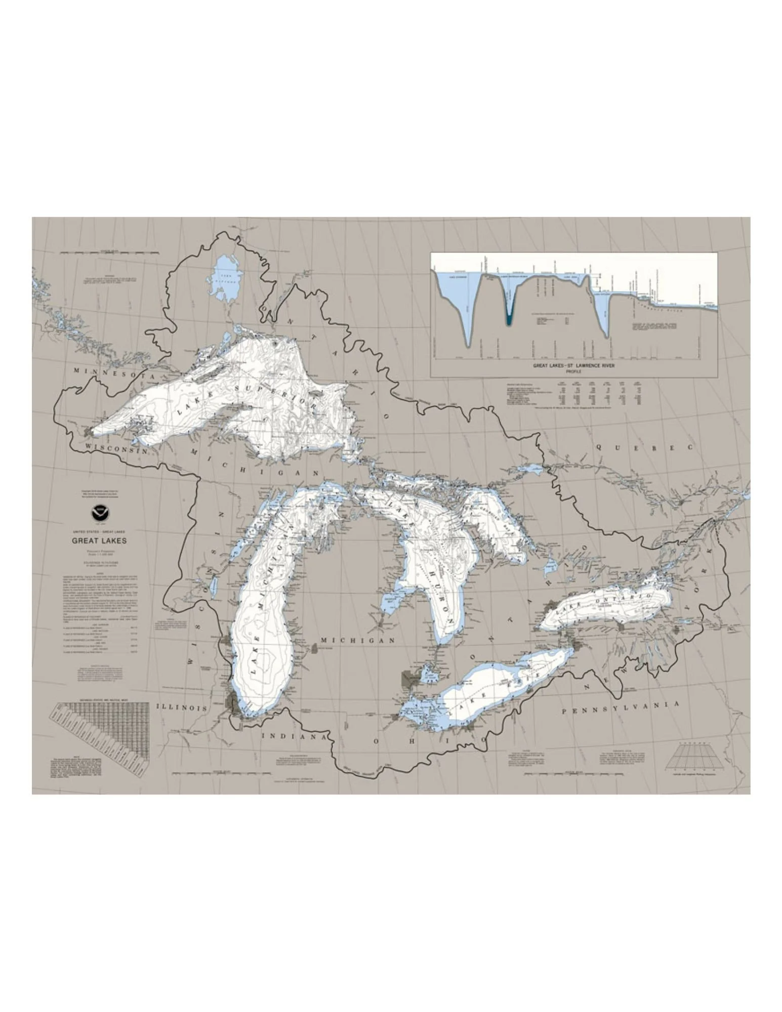 Image 2 of 3
 Image 3 of 3
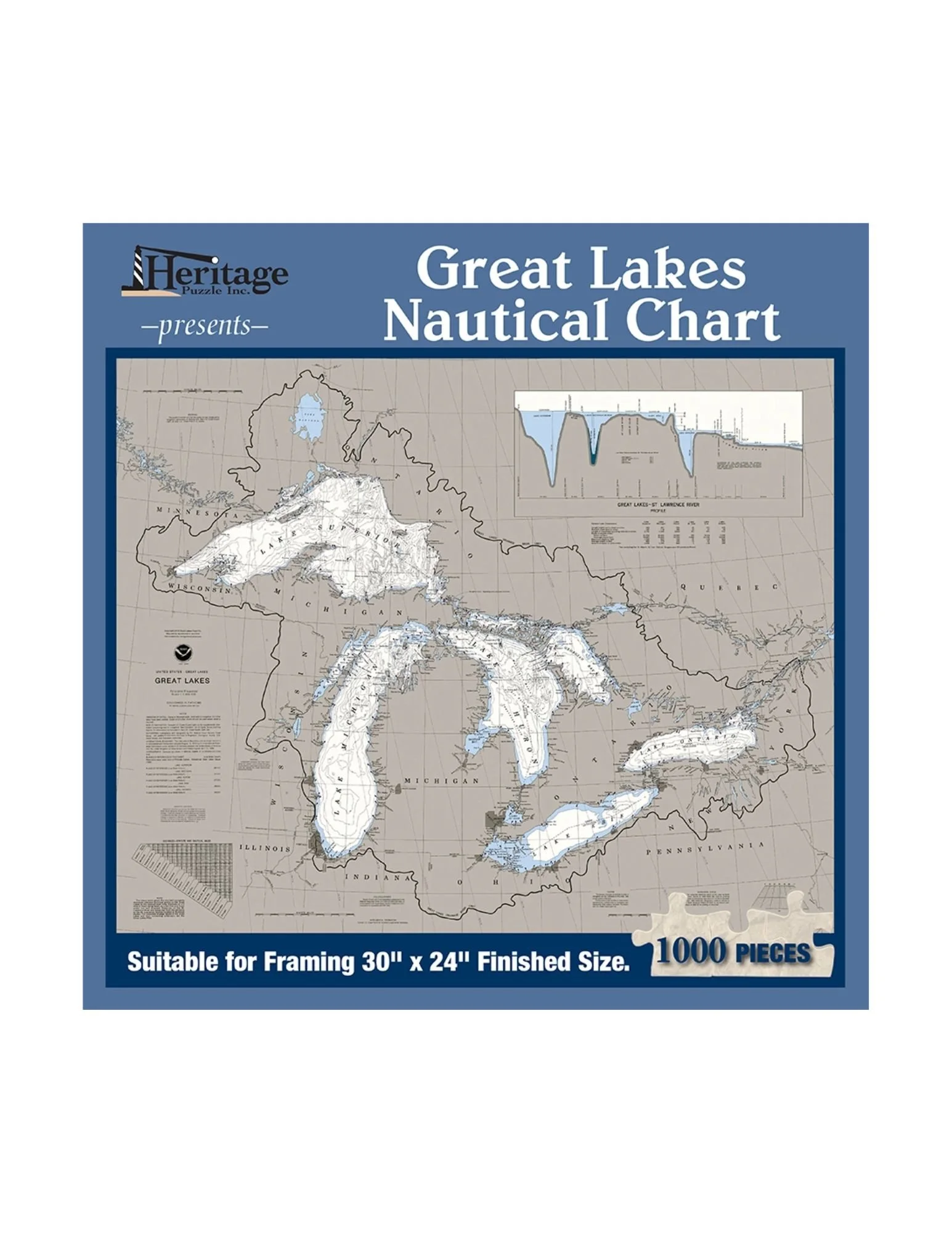
Explore the inland seas piece by piece with this beautifully reproduced nautical chart of the Great Lakes. Measuring an impressive 30" × 24" when completed, this 1000-piece puzzle is both visually striking and intellectually engaging—perfect for lovers of geography, maritime history, and challenging puzzle builds.
A nautical chart is essentially a water-focused map used for navigation, showing coastlines, depths, landmarks, and hazards. For centuries, mariners have relied on these charts to guide them safely across the world’s waters. This chart highlights Lakes Superior, Michigan, Huron, Erie, and Ontario—the largest connected freshwater system on Earth, containing 21% of the planet’s surface freshwater.
Fascinating facts woven into the build:
• Lake Superior is the second largest lake in the world by area
• Lake Michigan is the largest lake entirely within one country
• Combined surface area: 94,250 square miles
• Over 30 million people live within the Great Lakes region
• Connected to the Atlantic Ocean by the Saint Lawrence River
Perfect for Great Lakes admirers, map enthusiasts, puzzlers, and museum supporters.
All purchases support the mission of the Michigan Maritime Museum, helping us preserve maritime heritage and foster learning and curiosity.